
Access to groundwater is essential for agriculture, drinking water, and industry. Monitoring this resource is increasingly crucial as demand rises and the climate shifts. Recent satellite data analyses provide new insights into groundwater depletion, especially in vital agricultural regions around the world.
Unveiling the Hidden Crisis from Space
Satellites equipped with advanced sensors are revolutionizing how scientists monitor underground water supplies. The Gravity Recovery and Climate Experiment (GRACE) satellites have been essential for this purpose since their launch. By tracking slight changes in Earth’s gravity, these satellites can detect shifts in mass below the surface, including groundwater.
Researchers analyze data from both the original GRACE mission (2002–2017) and its successor, GRACE Follow-On, operational since 2018. This approach allows long-term observation of water storage, distinguishing between natural variability and long-term trends. Such data offer an unprecedented, global view of groundwater change.
These satellite sensors detect when water is extracted more rapidly than it is naturally replenished. This over-extraction signals a looming crisis, often before local records notice a problem. The technology thus serves as an early warning system for policymakers and farmers alike.
Key Farming Regions Face Critical Depletion
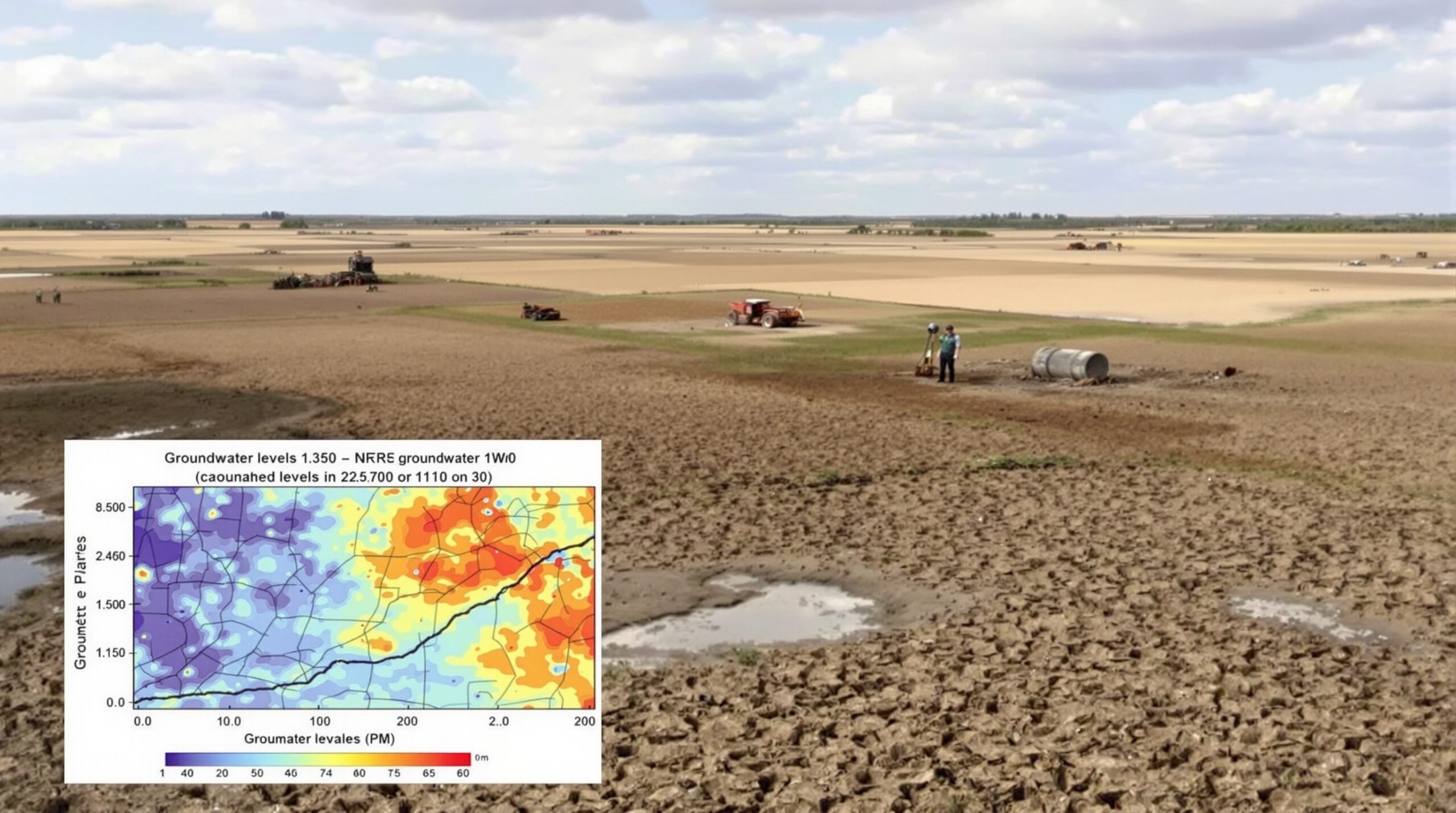
The satellite data paints a concerning picture—major food-producing regions are losing groundwater at accelerating rates. Among the hardest hit are areas like California’s Central Valley, India’s northwest region, and northern China’s plains. These locations are recognized for both their agricultural output and groundwater dependence.
In Central Valley, California, groundwater supports around one-third of the United States’ vegetables and two-thirds of its fruits and nuts. Here, satellites record several centimeters per year in falling groundwater levels, especially during drought years. With surface water unreliable, farmers rely on wells, accelerating depletion.
Similarly, India hosts one of the world’s largest groundwater extraction rates, particularly in Punjab, Haryana, and parts of Rajasthan. Satellite observations show these regions have lost several centimeters of groundwater per year over the past two decades. This severe drop poses a risk to food security for millions.
Northern China mirrors this trend, where agricultural expansion and rapid urban development stress groundwater reserves. GRACE data reveal that the North China Plain experiences groundwater declines estimated at more than 4 centimeters annually in the last decade. Farmers now drill deeper and invest in costly pumping, raising production costs.
Consequences of Accelerating Groundwater Loss
Depleting groundwater reserves brings a wave of environmental and socioeconomic consequences. Farmers frequently experience dropping well yields and must invest in deeper drilling, a costly and unsustainable practice. Eventually, some wells run dry, causing reductions in agricultural productivity and farm income.
Reduced groundwater also affects ecosystems dependent on steady sub-surface water. Wetlands can shrink, and rivers may dry up during periods without rain. These changes harm wildlife and reduce biodiversity in vulnerable areas.
Land subsidence, or the sinking of ground surfaces, results from over-pumping of aquifers. Some regions in Mexico City and California’s San Joaquin Valley have experienced subsidence rates of several centimeters a year. This geological shift can damage infrastructure such as roads, railways, and irrigation canals.
Communities that rely on groundwater for drinking water can face shortages or settlement concerns. As aquifer levels drop, water quality may suffer, and saltwater intrusion can threaten coastal aquifers. All these issues highlight groundwater’s critical role beyond agriculture.
Drivers Behind Groundwater Overextraction
Irrigation is by far the largest consumer of groundwater worldwide. Farmers extract groundwater to irrigate crops during dry periods or when surface water supplies fall short. This pattern grows more pronounced with increasing heatwaves and irregular rainfall.
Rapid population growth and urbanization further raise demand for groundwater. Cities expanding into agricultural areas strain aquifers that once exclusively sustained farms. Water policies that subsidize electricity for pumping often unintentionally encourage excessive use of groundwater as well.
Climate change exacerbates these pressures by increasing drought frequency and reducing surface water flows. As reservoirs and streams run low, farms and cities turn to groundwater for an emergency supply. Without improved management, these competing needs can push aquifers to a tipping point.
Linking Data to Policy: Toward Sustainable Management
Satellite-based groundwater monitoring provides essential guidance for policymakers, scientists, and water managers. Accurate, timely data make it easier to identify crisis regions before conditions worsen. Decision-makers can then target interventions, such as promoting water-efficient irrigation or updating groundwater laws to match today’s challenges.
Some regions are already using satellite data to refine water management plans. For example, California’s Sustainable Groundwater Management Act requires local agencies to monitor and balance groundwater use. Satellite data can verify these efforts, ensuring that practices on the ground match legal goals.
International organizations like the UN are also turning to satellite results to advise groundwater management in vulnerable regions. With open-access data, collaboration across borders becomes possible. Shared information fosters better collective responses and helps prepare for future challenges.
The Role of Farmers and Local Communities
Farmers and rural communities are crucial to groundwater stewardship. Adoption of water-saving technologies can significantly lower stress on aquifers. Drip irrigation, soil moisture sensors, and improved crop rotation offer practical solutions, especially in areas facing crises.
Educational programs help local stakeholders understand the urgency of the groundwater issue. Workshops, field demonstrations, and partnerships between scientists and growers can bridge the information gap. Empowered with knowledge, communities are better equipped to join efforts for lasting change.
Looking Ahead: Innovation and Adaptation
Ongoing improvements in satellite technology promise even more detailed and timely groundwater assessments. Planned missions will offer higher spatial resolution, providing local agencies with clearer pictures of aquifer status. Greater accuracy means faster action when signs of trouble appear.
Groundwater management will also benefit from data integration. By linking satellite results with local well measurements and advanced hydrological models, scientists can develop targeted adaptation strategies. These tools make resilience possible, even as climate pressures mount.
Conclusion: Shaping a Sustainable Water Future
The accelerating loss of groundwater in key farming regions cannot be ignored. New satellite data shines a light on hidden crises and empowers proactive responses. With better information and collective action, a sustainable path forward remains within reach for communities, agriculture, and ecosystems.