

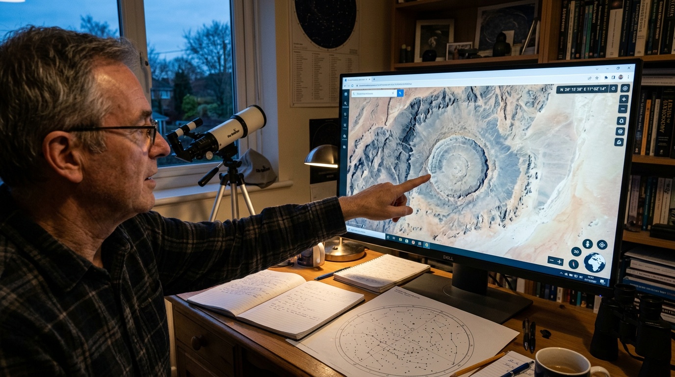
An amateur astronomer helped reveal an ancient impact crater by following an unusual circle across publicly available satellite maps. The formation appeared too symmetrical to resemble ordinary erosion, river activity, or modern construction. The observer compared different images, examined surrounding terrain, and contacted researchers with relevant geological experience. That careful decision transformed an intriguing digital clue into a serious scientific investigation.
The discovery demonstrates how accessible mapping technology can support professional research. Satellites now record remote landscapes with remarkable detail, including places rarely visited by geologists. However, a circular landform alone cannot prove that an asteroid or comet struck Earth. Researchers need field observations, laboratory analysis, and geological context before accepting an impact origin.
A suspicious circle attracts attention
The amateur astronomer initially noticed a ring while exploring satellite maps for interesting geographical features. Its curved boundaries remained visible across different image layers and viewing angles. The pattern also appeared connected with subtle changes in elevation and drainage. Those details suggested that the circle represented a geological structure rather than an image-processing error.
Many natural and human processes can produce circles when viewed from above. Volcanoes create calderas, while underground salt movements can deform overlying rocks. Glaciers, sinkholes, reefs, and collapsed caves may also leave rounded depressions. Even farms, reservoirs, and mining operations can imitate crater shapes within satellite images.
Consequently, specialists approached the observation as a testable hypothesis rather than immediate proof. They examined regional geological maps and compared the feature with known faults. Researchers also reviewed elevation models, which reveal slopes hidden by vegetation or misleading shadows. The wider evidence made the possible impact explanation increasingly compelling.
Why ancient craters become difficult to recognize
Fresh impact craters usually contain raised rims, steep walls, and broken material surrounding a central depression. Large impacts may also create central uplifts or several concentric rings. These features gradually weaken as weathering attacks exposed rock. Rivers carry debris into depressions, while wind and gravity smooth elevated rims.
Earth’s active surface destroys impact evidence far more quickly than the surfaces of the Moon or Mercury. Plate tectonics recycles crust, while oceans conceal large regions beneath water and sediment. Ice sheets can scour entire landscapes during repeated glacial periods. Forests and soil later hide whatever structures survive those processes.
An ancient crater may therefore appear only as a faint ring or unusual drainage pattern. Its surviving rocks can lie far below the original impact surface. Satellite mapping helps researchers recognize these broad relationships across several kilometres. The reported circle offered exactly the kind of regional perspective that field observers might easily miss.
How researchers test an impact structure
After identifying a promising circle, geologists usually begin with remote sensing and geophysical surveys. Magnetic instruments can detect disturbed minerals or buried structures beneath soil. Gravity measurements reveal density differences between fractured rocks and surrounding formations. Radar and detailed elevation data can expose rings, faults, or concealed central uplifts.
Fieldwork provides the next crucial stage. Researchers inspect outcrops, stream beds, road cuttings, and loose boulders for impact-related deformation. They map rock layers and record the orientation of faults or fractures. These observations can show whether immense pressure disrupted the site during a sudden event.
Scientists particularly seek shatter cones, which contain distinctive grooves created by powerful shock waves. They also search for impact breccias formed from shattered, mixed, and sometimes melted rock. Neither a depression nor broken stone proves an impact independently. Researchers must establish a consistent pattern across the suspected structure.
Microscopic evidence can settle the question
Laboratory examination can identify damage that ordinary surface processes cannot produce. Shocked quartz may contain microscopic planar features formed under enormous, rapidly applied pressure. Minerals can also transform into high-pressure phases during an impact. These indicators provide stronger evidence than the crater’s visible shape alone.
Researchers may test rock chemistry for traces of the original projectile. Elevated concentrations of certain metals can support an extraterrestrial connection. However, weathering often removes or redistributes those chemical signatures over geological time. Many ancient impactors also vaporized completely, leaving no recognizable meteorite fragments.
Dating the crater presents another challenge. Scientists may analyze minerals that crystallized from impact melt using radiometric techniques. They can also date sediments deposited before or after the collision. Together, those results establish a time window, although erosion may have removed the most useful material.
What the crater can reveal
Every verified crater expands knowledge about Earth’s long history of cosmic collisions. Small impacts affect limited areas, while larger events can disturb regional environments. Extremely large collisions may influence climate, ecosystems, and biological evolution. Researchers need a complete crater record to estimate how frequently these events occurred.
The new structure could also preserve evidence about the landscape existing before the collision. Impacted rocks may record ancient environments, volcanic activity, or sedimentary conditions. Crater basins sometimes collect younger sediments that preserve fossils and climate information. Consequently, one violent event can create a valuable archive covering several geological periods.
Scientists can use the crater’s dimensions to estimate the projectile’s approximate size and impact energy. Such calculations require assumptions about speed, angle, density, and target material. Erosion makes the original diameter difficult to reconstruct accurately. Researchers therefore combine field measurements with computer models and comparisons with better-preserved structures.
Scientific caution remains essential
Researchers distinguish between a possible crater, a probable structure, and a confirmed impact site. Independent experts usually review diagnostic evidence before major databases recognize a discovery. Peer-reviewed studies must describe sampling methods, geological relationships, and laboratory results. This process prevents ordinary circular features from entering the scientific record incorrectly.
Public announcements sometimes describe a structure as confirmed before specialists complete every test. Exact estimates for age, diameter, and impact energy may change during later work. Further drilling could uncover better samples beneath weathered surface material. New geophysical surveys may also revise interpretations of the crater’s buried boundaries.
Amateurs can make meaningful discoveries
The astronomer’s contribution highlights the continuing value of careful amateur observation. Professional teams cannot inspect every unusual feature visible across the planet. Interested members of the public can study open imagery and identify patterns worth investigating. Their discoveries become most useful when they document evidence and consult qualified specialists.
Modern mapping platforms combine satellite photographs, elevation measurements, and historical images within accessible interfaces. Users can examine deserts, forests, mountains, and frozen regions without expensive expeditions. Better resolution continues to reveal structures overlooked on older maps. Artificial intelligence may eventually help screen imagery, but human curiosity still recognizes unexpected patterns.
Responsible observers should avoid disturbing suspected sites or removing rocks without permission. Geological sampling often requires approval from landowners, authorities, or Indigenous communities. Researchers also need precise locations and undisturbed geological relationships. Protecting the site ensures that later studies can test the discovery properly.
The ancient circle shows how a simple observation can begin a much larger scientific process. Satellite maps supplied the view, while persistence connected the pattern with geological expertise. Fieldwork and laboratory evidence must now define the crater’s history. Whatever later studies reveal, the discovery underscores the scientific power of informed curiosity.
