

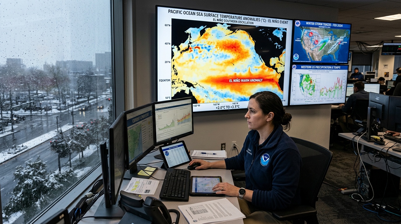
NOAA’s 2023–24 winter outlook placed a strong El Niño at the center of seasonal weather expectations. The agency expected the Pacific pattern to influence temperatures, precipitation, storms, and snowfall across the United States. However, NOAA described probabilities rather than a fixed script for every community. Local weather could still shift sharply during individual cold fronts, atmospheric rivers, and coastal storms. Seasonal outlooks describe overall tendencies across three months. They do not predict conditions for particular dates or guarantee specific regional outcomes.
El Niño developed during 2023 as tropical Pacific waters warmed beyond normal thresholds. By autumn, NOAA reported strong conditions and expected El Niño to continue through winter. The agency also saw a meaningful chance that ocean temperatures could reach historically strong levels. Strength alone could not determine impacts because atmospheric responses and other climate patterns also mattered. Still, a mature event gave forecasters a powerful signal for the broad winter outlook.
How El Niño Changes Winter Circulation
El Niño marks the warm phase of ENSO, the El Niño-Southern Oscillation. During an event, unusually warm water spreads across the central and eastern equatorial Pacific. Tropical rainfall and winds then reorganize, changing the release of heat into the atmosphere. Those changes alter large-scale circulation far beyond the tropics through atmospheric connections called teleconnections. Winter usually provides the clearest United States response because the jet stream becomes stronger and more organized.
A typical El Niño strengthens and shifts the Pacific jet stream toward the southern United States. That setup often directs more storms across California, the Southwest, the Gulf Coast, and the Southeast. It can also limit storm activity across parts of the northern Rockies and northern Plains. Meanwhile, northern states often experience fewer sustained Arctic outbreaks than usual. These typical relationships guided NOAA, but forecasters did not treat them as certainties.
What NOAA’s Seasonal Maps Showed
NOAA’s Climate Prediction Center issued temperature and precipitation outlooks using three categories. Each map showed chances for above-normal, near-normal, or below-normal conditions during the season. “Equal chances” did not mean normal weather would definitely occur. Instead, forecasters lacked a strong enough signal to favor any category. The maps also omitted exact temperatures, rainfall totals, storm counts, and snowfall amounts.
For December 2023 through February 2024, NOAA favored above-normal temperatures across much of the northern United States. The strongest warm signals covered sections of the Pacific Northwest, northern Rockies, northern Plains, and Alaska. Warmer seasonal averages did not rule out brief cold waves or damaging freezes. Instead, warm periods were expected to outweigh cold periods across the full winter. Southern areas carried weaker temperature signals, partly because clouds and storms could suppress daytime warmth.
The precipitation outlook broadly reflected the expected southern storm track. NOAA favored wetter-than-normal conditions across parts of California, the Southwest, southern Plains, Gulf Coast, and Southeast. Conversely, drier-than-normal conditions appeared more likely in parts of the northern Rockies and Great Lakes region. Some central areas had equal chances because competing influences reduced confidence.
Regional Effects Across the Country
The South and West
California often receives substantial precipitation during strong El Niño winters, but results vary considerably. Some events produce repeated atmospheric rivers, while others focus storms elsewhere or arrive during limited periods. Yet intense bursts can also cause flooding, debris flows, coastal erosion, and transportation disruptions. Wildfire burn scars face particular danger because damaged soils shed water quickly. Accordingly, seasonal wetness can create both water-supply benefits and serious hazards.
Across the Southwest, additional winter moisture can improve drought conditions and support spring water supplies. However, elevation strongly controls whether that moisture falls as rain or snow. Warm storms can raise snow levels, reducing lower-elevation accumulation despite abundant precipitation. The Gulf Coast and Southeast can also receive frequent fronts and developing low-pressure systems.
The Northern Tier and East
A weaker northern storm track can limit snowfall across some lower elevations. Nevertheless, lake-effect processes, local terrain, and short cold spells can still generate major snowstorms. The Great Lakes require cold air over relatively warm water for strong lake-effect snow. If persistent warmth reduces that contrast, seasonal snowfall can decline in favored locations.
Eastern outcomes remain especially complicated because coastal storms depend on precise tracks and available cold air. El Niño can energize the southern jet and support storm development near the East Coast. However, rain may replace snow when temperatures remain above freezing along populated corridors. Farther inland, a favorable track can produce heavy snow, ice, or mixed precipitation. Thus, a warm winter can still include disruptive winter storms.
Snowfall Remains Especially Uncertain
NOAA’s precipitation maps show total liquid, including the water contained in snow. Snow requires moisture, freezing temperatures, favorable storm tracks, and suitable conditions throughout the atmosphere. El Niño changes some of those ingredients, but it does not control them alone. A wetter southern outlook could mean mountain snow, lowland rain, or alternating precipitation types. Likewise, a drier northern outlook could still include several intense snow events between long quiet periods.
Strong El Niño winters have produced very different snowfall patterns in past decades. Their differences reflect event placement, ocean warmth, stratospheric behavior, Arctic variability, and random weather. Climate change adds another influence by raising background temperatures and increasing atmospheric moisture. Warmer air often reduces snow opportunities near freezing, especially at lower elevations. However, added moisture can intensify snowfall when temperatures stay sufficiently cold.
Why Forecast Uncertainty Remains
NOAA based its outlook on observations, computer models, historical relationships, and expert assessment. Forecasters monitored Pacific sea-surface temperatures, trade winds, tropical rainfall, and subsurface ocean heat. They also evaluated climate trends and other patterns that could reinforce or counter El Niño. As winter approached, updated outlooks incorporated new measurements and changing model guidance.
Other atmospheric patterns can dominate weather for days or weeks. The Arctic Oscillation influences how readily cold air moves south from polar regions. Sudden stratospheric warming can also disrupt the polar vortex and increase cold risks in some regions. Because these influences develop differently, even a strong El Niño leaves substantial uncertainty.
Using the Outlook for Winter Planning
Residents could use the outlook as a planning tool, not a daily forecast. Water managers could review flood procedures, reservoir capacity, drought conditions, and snowpack monitoring. Emergency officials could prepare shelters, inspect drainage systems, and identify vulnerable roads or burn scars. Utilities could assess heating demand while retaining plans for brief, severe cold. Travelers still needed local forecasts before storms, particularly where snow levels or ice remained uncertain.
The forecast’s central message combined a strong climate signal with clear limits. El Niño increased the odds of a milder northern winter and a wetter southern one. It did not erase regional exceptions, extreme events, or week-to-week swings. NOAA therefore paired seasonal guidance with regular monthly, weekly, and short-range updates. That layered approach gave communities useful context while preserving attention to approaching hazards.
